
:quality(75)/cloudfront-us-east-1.images.arcpublishing.com/elcomercio/V3RI7ILIEZFMHBISG6QGQC4C5Q.jpg)
Google has presented new functionalities of Google Maps Street View, among which the possibility of going back in time on mobile devices and knowing the cities with immersive maps, together with the new camera that will allow recording the world with high-quality images .
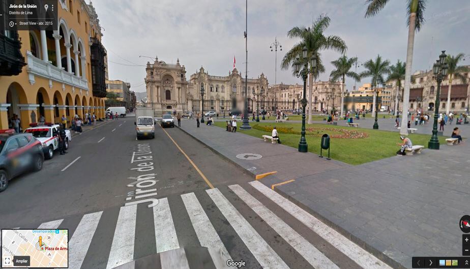
Street View is the Google Maps service that shows the streets with a real image. The technology company has announced the launch of new features this Tuesday on the occasion of the 15th anniversary of its launch, which will be held this Sunday, May 29.
One of these novelties resides in a camera that, as Google pointed out on its blog, “contains all the power, resolution and processing capabilities that are incorporated into a Street View car but compacted into an ultraportable system.”
Featuring two lenses and a metal base with ventilation holes, this camera can be taken anywhere from a remote island to a mountain top. It weighs less than 7 kilos and allows the addition of modular components, such as a laser scanner to collect images with useful details, such as lane markings or potholes.
In addition, this device, which will begin to be implemented in Street View cars next year, can be attached to any vehicle that has roof racks and is controlled from a mobile device.
With the new camera, Google hopes to “collect high-quality images in more places,” especially from “traditionally under-mapped areas, like the Amazon rainforest.”
Another of the novelties announced on the occasion of the anniversary of this service is the ability to go back in time from the iOS and Android application, a function until now only available in the web version.
Users will be able to see how time passes through a place with a new option that is integrated into the images under the name ‘See more dates’. When viewing an image, they can tap on it to learn more about the site, as well as other images that have been published from it since Street View launched in 2007.
Likewise, Google has collected the new immersive view, which creates a new map from the combination of Street View images with Artificial Intelligence (AI), as it already announced during the celebration of its annual developer event.
Thanks to advances in machine vision and AI, it will begin merging aerial and Street Viw imagery to create a digital model of places around the world. This immersive view will be available later this year.
Source: Elcomercio


